
折巴乡 topographic map
Interactive map
Click on the map to display elevation.
About this map
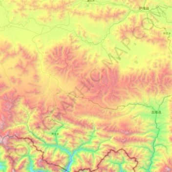
Name: 折巴乡 topographic map, elevation, terrain.
Location: 折巴乡, 吉隆县, 日喀则市, 西藏自治区, 中国 (28.62667 84.72807 29.32068 85.62796)
Average elevation: 16,243 ft
Minimum elevation: 11,362 ft
Maximum elevation: 22,743 ft
Other topographic maps
Click on a map to view its topography, its elevation and its terrain.