Geolocate

Deurne topographic map

Click on the map to display elevation.

About this map

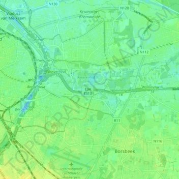
Name: Deurne topographic map, elevation, terrain.

Location: Deurne, Antwerp, 2100, Belgium (51.18443 4.44170 51.23863 4.49797)

Average elevation: 26 ft

Minimum elevation: -10 ft

Maximum elevation: 52 ft

Other topographic maps

Click on a map to view its topography, its elevation and its terrain.

Lillo-Fort

Belgium > Antwerp > Antwerp > Antwerp

Average elevation: 10 ft

Antwerp

Belgium > Antwerp > Antwerp > Antwerp

Average elevation: 16 ft

Donk

Belgium > Antwerp > Antwerp > Antwerp > Ekeren

Average elevation: 20 ft

Antwerp

Belgium > Antwerp > Antwerp > Antwerp

Average elevation: 30 ft

Gear up for your next adventure:

🗺️Topographic Maps - Detailed topo maps for hiking, exploring and outdoor navigation
Backpacking Tent - Lightweight and durable tent for multi‑day hikes
🏕️Tent Footprint - Protect your tent base from wear
👖Convertible Hiking Pants - Versatile zip-off pants for changing altitudes and temperatures
🛡️Bear Spray Outdoor - Protection in bear country hikes

As an Amazon Associate, this site earns from qualifying purchases at no extra cost to you.