
Antwerp topographic map
Click on the map to display elevation.
About this map
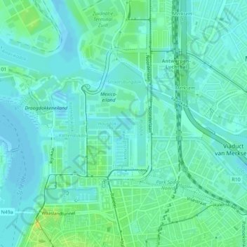
Name: Antwerp topographic map, elevation, terrain.
Location: Antwerp, Flanders, 2030, Belgium, Houtdok (51.23680 4.40682 51.23681 4.41883)
Average elevation: 16 ft
Minimum elevation: -10 ft
Maximum elevation: 56 ft
Other topographic maps
Click on a map to view its topography, its elevation and its terrain.