Geolocate

Bussum topographic map

Click on the map to display elevation.

About this map

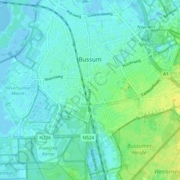
Name: Bussum topographic map, elevation, terrain.

Location: Bussum, Gooise Meren, North Holland, Netherlands (52.25580 5.13536 52.28503 5.20158)

Average elevation: 16 ft

Minimum elevation: -13 ft

Maximum elevation: 59 ft

Other topographic maps

Click on a map to view its topography, its elevation and its terrain.

Oosterwijzend

Netherlands > North Holland > Hoogkarspel

Average elevation: -7 ft

Ruigoord

Netherlands > North Holland > Amsterdam

Average elevation: 0 ft

Gear up for your next adventure:

🥇GPS Hiking Watch - Multi‑sport GPS watch with navigation and trail tracking
🌄Hiking Binoculars - Compact binoculars for scenic views and trail spotting
💧Water Purification System - Clean water on the trail with reliable purifiers
🧭Pro Hiking Compasses - High-accuracy liquid-filled compasses for topographic orientation
🧣Merino Neck Gaiters - Multi-functional headwear for wind and sun protection

As an Amazon Associate, this site earns from qualifying purchases at no extra cost to you.