
Nanda Devi topographic map
Click on the map to display elevation.
About this map
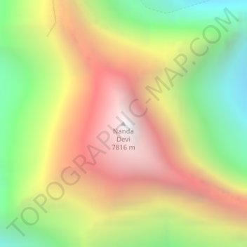
Name: Nanda Devi topographic map, elevation, terrain.
Location: Nanda Devi, Joshimath Tehsil, Chamoli, Uttarakhand, India (30.37603 79.97007 30.37613 79.97017)
Average elevation: 21,545 ft
Minimum elevation: 17,621 ft
Maximum elevation: 25,531 ft
Other topographic maps
Click on a map to view its topography, its elevation and its terrain.
Valley of Flowers National Park
India > Uttarakhand > Joshimath Tehsil > Ghangaria
Average elevation: 15,112 ft
Valley of Flowers National Park
India > Uttarakhand > Joshimath Tehsil > Ghangaria
Average elevation: 15,112 ft