
Hemkund topographic map
Click on the map to display elevation.
About this map
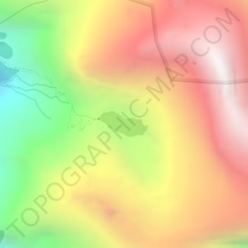
Name: Hemkund topographic map, elevation, terrain.
Location: Hemkund, Joshimath Tehsil, Chamoli, Uttarakhand, India (30.69735 79.61546 30.70015 79.62149)
Average elevation: 14,327 ft
Minimum elevation: 11,401 ft
Maximum elevation: 16,713 ft
Other topographic maps
Click on a map to view its topography, its elevation and its terrain.
Ghangaria
India > Uttarakhand > Joshimath Tehsil
Ghangaria is a village in Uttarakhand state of India. It is located at an altitude of 3049 meters.
Average elevation: 12,270 ft