
多玛乡 topographic map
Interactive map
Click on the map to display elevation.
About this map
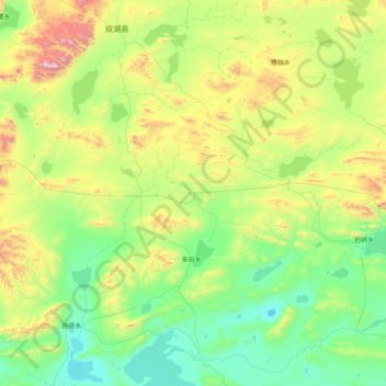
Name: 多玛乡 topographic map, elevation, terrain.
Location: 多玛乡, 双湖县, 那曲市, 西藏自治区, 中国 (31.93630 88.59029 33.28820 89.98886)
Average elevation: 16,020 ft
Minimum elevation: 14,813 ft
Maximum elevation: 20,577 ft
Other topographic maps
Click on a map to view its topography, its elevation and its terrain.