
措折强玛乡 topographic map
Interactive map
Click on the map to display elevation.
About this map
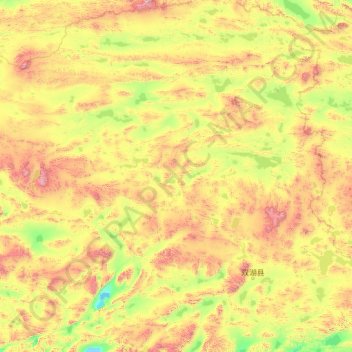
Name: 措折强玛乡 topographic map, elevation, terrain.
Location: 措折强玛乡, 双湖县, 那曲市, 西藏自治区, 中国 (32.30775 86.06724 36.42183 88.26129)
Average elevation: 16,594 ft
Minimum elevation: 14,951 ft
Maximum elevation: 22,559 ft
Other topographic maps
Click on a map to view its topography, its elevation and its terrain.