
景阳冈 topographic map
Interactive map
Click on the map to display elevation.
About this map
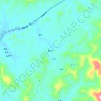
Name: 景阳冈 topographic map, elevation, terrain.
Location: 景阳冈, 德兴市, 上饶市, 江西省, 中国 (29.01108 117.64822 29.05108 117.68822)
Average elevation: 305 ft
Minimum elevation: 148 ft
Maximum elevation: 971 ft
Other topographic maps
Click on a map to view its topography, its elevation and its terrain.