
德兴市 topographic map
Interactive map
Click on the map to display elevation.
About this map
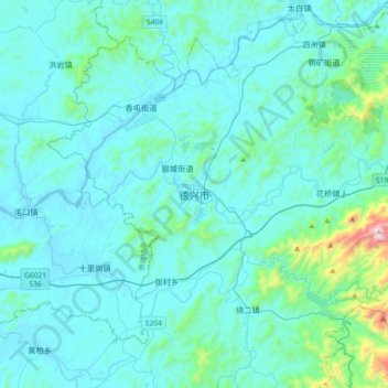
Name: 德兴市 topographic map, elevation, terrain.
Location: 德兴市, 上饶市, 江西省, 中国 (28.77240 117.42915 29.09240 117.74915)
Average elevation: 486 ft
Minimum elevation: 98 ft
Maximum elevation: 4,416 ft
Other topographic maps
Click on a map to view its topography, its elevation and its terrain.