
岑溪乡 topographic map
Interactive map
Click on the map to display elevation.
About this map
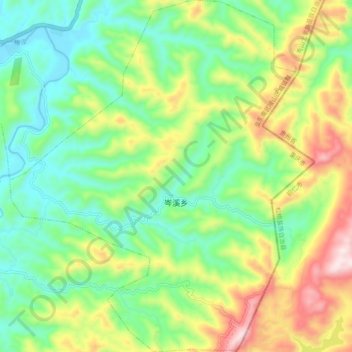
Name: 岑溪乡 topographic map, elevation, terrain.
Location: 岑溪乡, 秀山土家族苗族自治县, 重庆市, 中国 (28.30771 109.06285 28.39351 109.14745)
Average elevation: 1,854 ft
Minimum elevation: 1,220 ft
Maximum elevation: 3,009 ft
Other topographic maps
Click on a map to view its topography, its elevation and its terrain.