
膏田镇 topographic map
Interactive map
Click on the map to display elevation.
About this map
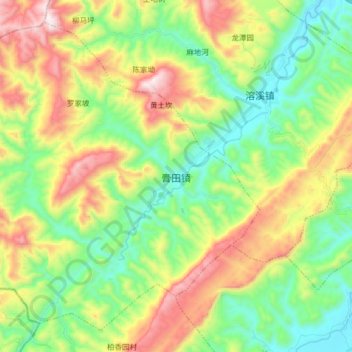
Name: 膏田镇 topographic map, elevation, terrain.
Location: 膏田镇, 秀山土家族苗族自治县, 重庆市, 中国 (28.42756 108.71783 28.55150 108.87863)
Average elevation: 2,244 ft
Minimum elevation: 1,158 ft
Maximum elevation: 4,114 ft
Other topographic maps
Click on a map to view its topography, its elevation and its terrain.