
尚德镇 topographic map
Interactive map
Click on the map to display elevation.
About this map
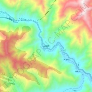
Name: 尚德镇 topographic map, elevation, terrain.
Location: 尚德镇, 文县, 陇南市, 甘肃省, 中国 (32.86444 104.71868 32.94444 104.79868)
Average elevation: 4,718 ft
Minimum elevation: 2,733 ft
Maximum elevation: 8,084 ft
Other topographic maps
Click on a map to view its topography, its elevation and its terrain.