
铁楼藏族乡 topographic map
Interactive map
Click on the map to display elevation.
About this map
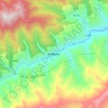
Name: 铁楼藏族乡 topographic map, elevation, terrain.
Location: 铁楼藏族乡, 文县, 陇南市, 甘肃省, 中国 (32.87143 104.42432 32.95143 104.50432)
Average elevation: 6,906 ft
Minimum elevation: 4,255 ft
Maximum elevation: 10,896 ft
Other topographic maps
Click on a map to view its topography, its elevation and its terrain.