
碧口镇 topographic map
Interactive map
Click on the map to display elevation.
About this map
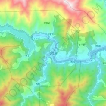
Name: 碧口镇 topographic map, elevation, terrain.
Location: 碧口镇, 文县, 陇南市, 甘肃省, 中国 (32.70960 105.20262 32.78960 105.28262)
Average elevation: 3,491 ft
Minimum elevation: 1,965 ft
Maximum elevation: 6,555 ft
Other topographic maps
Click on a map to view its topography, its elevation and its terrain.