
石鸡坝镇 topographic map
Interactive map
Click on the map to display elevation.
About this map
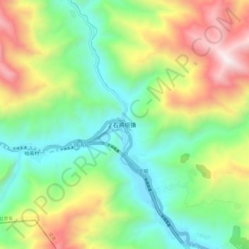
Name: 石鸡坝镇 topographic map, elevation, terrain.
Location: 石鸡坝镇, 文县, 陇南市, 甘肃省, 中国 (33.02474 104.40686 33.10474 104.48686)
Average elevation: 5,587 ft
Minimum elevation: 3,497 ft
Maximum elevation: 9,354 ft
Other topographic maps
Click on a map to view its topography, its elevation and its terrain.