
Gouin Lara Tchad topographic map
Interactive map
Click on the map to display elevation.
About this map
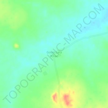
Name: Gouin Lara Tchad topographic map, elevation, terrain.
Location: Gouin Lara Tchad, Mayo-Kebbi Ouest, Tchad (9.61597 14.93748 9.65597 14.97748)
Average elevation: 1,211 ft
Minimum elevation: 1,161 ft
Maximum elevation: 1,316 ft
Other topographic maps
Click on a map to view its topography, its elevation and its terrain.