
Mayo Kébi topographic map
Interactive map
Click on the map to display elevation.
About this map
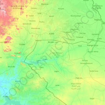
Name: Mayo Kébi topographic map, elevation, terrain.
Location: Mayo Kébi, Mayo-Kebbi Ouest, Tchad (9.28153 13.52953 10.30483 15.31301)
Average elevation: 1,260 ft
Minimum elevation: 600 ft
Maximum elevation: 4,088 ft
Other topographic maps
Click on a map to view its topography, its elevation and its terrain.