
Léré topographic map
Interactive map
Click on the map to display elevation.
About this map
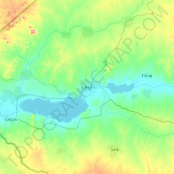
Name: Léré topographic map, elevation, terrain.
Location: Léré, Mayo-Kebbi Ouest, Tchad (9.49874 14.06512 9.81874 14.38512)
Average elevation: 978 ft
Minimum elevation: 751 ft
Maximum elevation: 1,631 ft
Other topographic maps
Click on a map to view its topography, its elevation and its terrain.