
Pala topographic map
Interactive map
Click on the map to display elevation.
About this map
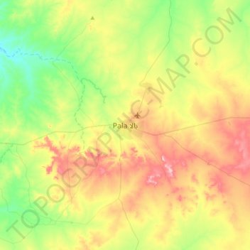
Name: Pala topographic map, elevation, terrain.
Location: Pala, Mayo-Kebbi Ouest, Tchad (9.20628 14.74970 9.52628 15.06970)
Average elevation: 1,385 ft
Minimum elevation: 1,079 ft
Maximum elevation: 1,824 ft
Other topographic maps
Click on a map to view its topography, its elevation and its terrain.