Geolocate

Safi topographic map

Click on the map to display elevation.

About this map

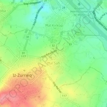
Name: Safi topographic map, elevation, terrain.

Location: Safi, Southern Region, Malta (35.82605 14.47934 35.84366 14.50588)

Average elevation: 305 ft

Minimum elevation: 180 ft

Maximum elevation: 476 ft

Other topographic maps

Click on a map to view its topography, its elevation and its terrain.

Wied iż-Żurrieq

Malta > Southern Region > Qrendi

Average elevation: 164 ft

Ta’ Dmejrek

Malta > Southern Region > Siġġiewi

Ta' Dmejrek is the highest point of Malta, located on the Dingli Cliffs, with an elevation of 253 metres (830 ft) above sea level.

Average elevation: 427 ft

Filfla

Malta > Southern Region > Żurrieq

Average elevation: 0 ft

Gear up for your next adventure:

🧺Microfiber Travel Towels - Compact and fast-drying towels for trail use
🩳Quick‑Dry Hiking Shorts - Comfortable and quick‑dry shorts for summer hiking
🔌USB Car Charger - Car charger for on‑the‑go power needs
👓Polarized Sunglasses - Outdoor sunglasses for glare reduction
🔊Portable Camp Speaker - Music and alerts at camp

As an Amazon Associate, this site earns from qualifying purchases at no extra cost to you.