Geolocate

Fisher topographic map

Click on the map to display elevation.

About this map

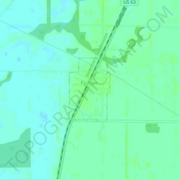
Name: Fisher topographic map, elevation, terrain.

Location: Fisher, Poinsett County, Arkansas, United States (35.48589 -90.97670 35.49539 -90.96914)

Average elevation: 230 ft

Minimum elevation: 217 ft

Maximum elevation: 246 ft

Poinsett County trails, hiking, mountain biking, running and outdoor activities

Other topographic maps

Click on a map to view its topography, its elevation and its terrain.

Black Oak

United States > Arkansas > Poinsett County

Average elevation: 217 ft

Payneway

United States > Arkansas > Poinsett County

Average elevation: 213 ft

Greenfield

United States > Arkansas > Poinsett County

Average elevation: 285 ft

Trumann

United States > Arkansas > Poinsett County > Trumann > Trumann

Average elevation: 220 ft

Dobell

United States > Arkansas > Poinsett County > Trumann

Average elevation: 223 ft

Gear up for your next adventure:

🏕️Family Camping Gear - Essentials for group camping trips
🔭Stargazing Telescopes - Perfect for camping in low-light pollution areas shown on maps
📷Action Camera - Capture your outdoor adventures in HD
📡Handheld GPS Device - Reliable handheld GPS for outdoor navigation
📡GPS Antenna Upgrade - Enhance GPS reception in remote terrain

As an Amazon Associate, this site earns from qualifying purchases at no extra cost to you.