
Cerro Chato topographic map
Interactive map
Click on the map to display elevation.
About this map
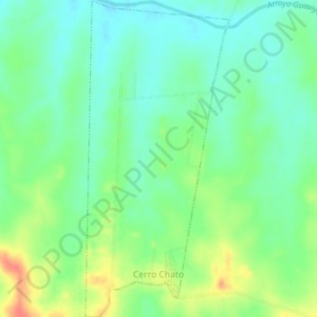
Name: Cerro Chato topographic map, elevation, terrain.
Location: Cerro Chato, Paysandú, 60001, Uruguay (-31.87581 -57.54612 -31.84256 -57.52826)
Average elevation: 315 ft
Minimum elevation: 253 ft
Maximum elevation: 423 ft
Other topographic maps
Click on a map to view its topography, its elevation and its terrain.
Estación Porvenir
Estación Porvenir, Paysandú, 60000, Uruguay
Average elevation: 240 ft