
Estación Porvenir topographic map
Interactive map
Click on the map to display elevation.
About this map
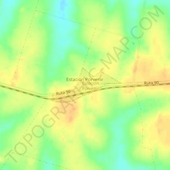
Name: Estación Porvenir topographic map, elevation, terrain.
Location: Estación Porvenir, Paysandú, 60000, Uruguay (-32.37364 -57.86129 -32.36814 -57.84827)
Average elevation: 240 ft
Minimum elevation: 174 ft
Maximum elevation: 289 ft
Other topographic maps
Click on a map to view its topography, its elevation and its terrain.