
Federación topographic map
Interactive map
Click on the map to display elevation.
About this map
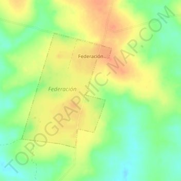
Name: Federación topographic map, elevation, terrain.
Location: Federación, Paysandú, 60000, Uruguay (-32.05013 -57.32833 -32.03305 -57.31253)
Average elevation: 279 ft
Minimum elevation: 203 ft
Maximum elevation: 344 ft
Other topographic maps
Click on a map to view its topography, its elevation and its terrain.
Estación Porvenir
Estación Porvenir, Paysandú, 60000, Uruguay
Average elevation: 240 ft