
Shady Hills topographic map
Click on the map to display elevation.
About this map
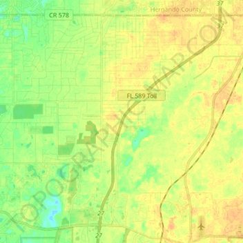
Name: Shady Hills topographic map, elevation, terrain.
Location: Shady Hills, Pasco County, Florida, 34610, United States (28.32924 -82.59765 28.43385 -82.46179)
Average elevation: 59 ft
Minimum elevation: 10 ft
Maximum elevation: 95 ft
Pasco County trails, hiking, mountain biking, running and outdoor activities
Other topographic maps
Click on a map to view its topography, its elevation and its terrain.