
Cache topographic map
Click on the map to display elevation.
About this map
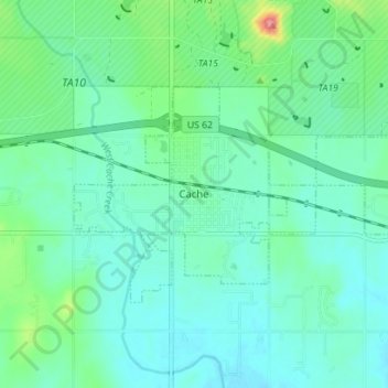
Name: Cache topographic map, elevation, terrain.
Location: Cache, Comanche County, Oklahoma, 73527, United States (34.61333 -98.65038 34.64541 -98.58024)
Average elevation: 1,266 ft
Minimum elevation: 1,198 ft
Maximum elevation: 1,532 ft
Comanche County trails, hiking, mountain biking, running and outdoor activities
Other topographic maps
Click on a map to view its topography, its elevation and its terrain.
Wichita Mountains Wildlife Refuge
United States > Oklahoma > Comanche County
Average elevation: 1,942 ft
Medicine Bluffs
United States > Oklahoma > Comanche County > Lawton > White Wolf Bridge
Average elevation: 1,191 ft
South East Corner Landing Strip
United States > Oklahoma > Comanche County
Average elevation: 1,257 ft