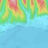
Rapa topographic map
Click on the map to display elevation.
Rapa
Rapa, also called Rapa Iti ("Little Rapa"), is the largest and only inhabited island of the Bass Islands in French Polynesia. An older name for the island is Oparo. The total land area including offshore islets is 40.5 km2 (15.6 sq mi). As of the 2022 census, Rapa had a population of 451. The island's highest point is at 650 metres (2,130 ft) elevation at Mont Perahu. Its main town is Ahuréi. The inhabitants of Rapa Iti speak their own Polynesian language called the Rapa language.
About this map
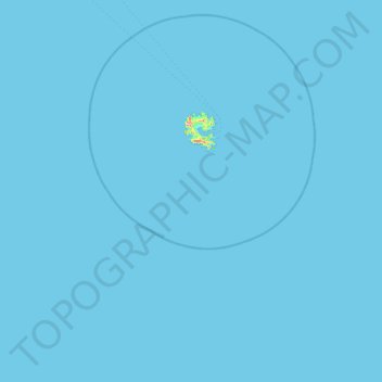
Name: Rapa topographic map, elevation, terrain.
Location: Rapa, Austral Islands, French Polynesia, France (-27.90017 -144.38136 -27.56647 -143.48479)
Average elevation: 3 ft
Minimum elevation: 0 ft
Maximum elevation: 1,742 ft
Other topographic maps
Click on a map to view its topography, its elevation and its terrain.


Mont Orohena
France > French Polynesia > Windward Islands > Māhina
Mont Orohena is a mountain located in the South Pacific, on the island of Tahiti. With an elevation of 2,241 metres (7,352 ft) above sea level, it is the highest point of French Polynesia. Mont Orohena is an extinct volcano and ranks 7th in the world for topographic isolation.
Average elevation: 4,206 ft







Fatu Huku
France > French Polynesia > Hiva Oa > Puamau
The island is essentially a huge rock, looming steep-sided out of the ocean and rising to a flattened plateau with a maximum elevation of 361 metres (1,184 ft). Fatu Huku is the youngest of the volcanic Marquesas Islands, estimated to be only 1.3 million years old which accounts, in part, for its ruggedness as…
Average elevation: 26 ft