
Keokea topographic map
Click on the map to display elevation.
About this map
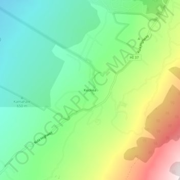
Name: Keokea topographic map, elevation, terrain.
Location: Keokea, Maui County, Hawaii, 96790, United States (20.68861 -156.37833 20.72861 -156.33833)
Average elevation: 2,831 ft
Minimum elevation: 1,578 ft
Maximum elevation: 5,164 ft
Maui County trails, hiking, mountain biking, running and outdoor activities
Other topographic maps
Click on a map to view its topography, its elevation and its terrain.
Kahoolawe
United States > Hawaii > Maui County
Kahoʻolawe (Hawaiian: [kəˈhoʔoˈlɐve]), anglicized as Kahoolawe (/kɑːˌhoʊoʊˈlɑːweɪ, -veɪ/), is the smallest of the eight main volcanic islands in the Hawaiian Islands. Kahoʻolawe is located about seven miles (11 km) southwest of Maui and also southeast of Lānaʻi, and it is 11 mi (18 km) long…
Average elevation: 230 ft