
则巴乡 topographic map
Interactive map
Click on the map to display elevation.
About this map
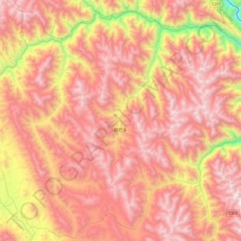
Name: 则巴乡 topographic map, elevation, terrain.
Location: 则巴乡, 贡觉县, 昌都市, 西藏自治区, 中国 (30.73533 98.34258 31.06525 98.76257)
Average elevation: 13,953 ft
Minimum elevation: 9,403 ft
Maximum elevation: 16,903 ft
Other topographic maps
Click on a map to view its topography, its elevation and its terrain.