
莫洛镇 topographic map
Interactive map
Click on the map to display elevation.
About this map
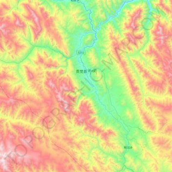
Name: 莫洛镇 topographic map, elevation, terrain.
Location: 莫洛镇, 贡觉县, 昌都市, 西藏自治区, 中国 (30.65495 97.99942 31.00208 98.43763)
Average elevation: 13,914 ft
Minimum elevation: 11,444 ft
Maximum elevation: 16,959 ft
Other topographic maps
Click on a map to view its topography, its elevation and its terrain.