
相皮乡 topographic map
Interactive map
Click on the map to display elevation.
About this map
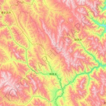
Name: 相皮乡 topographic map, elevation, terrain.
Location: 相皮乡, 贡觉县, 昌都市, 西藏自治区, 中国 (30.92184 97.85299 31.30092 98.41206)
Average elevation: 13,944 ft
Minimum elevation: 10,636 ft
Maximum elevation: 16,821 ft
Other topographic maps
Click on a map to view its topography, its elevation and its terrain.