Geolocate

Big Sandy topographic map

Click on the map to display elevation.

About this map

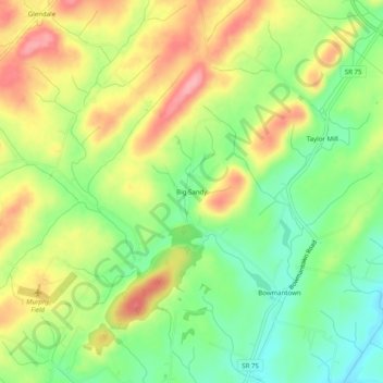
Name: Big Sandy topographic map, elevation, terrain.

Location: Big Sandy, Washington County, Tennessee, United States (36.28872 -82.60709 36.32872 -82.56709)

Average elevation: 1,601 ft

Minimum elevation: 1,424 ft

Maximum elevation: 1,808 ft

Washington County trails, hiking, mountain biking, running and outdoor activities

Other topographic maps

Click on a map to view its topography, its elevation and its terrain.

Midway

United States > Tennessee > Washington County

Average elevation: 1,804 ft

Gear up for your next adventure:

🥩Freeze-Dried Meals - Nutritious and lightweight food for remote expeditions
🚪Portable Camp Chair - Foldable chair for comfort at camp
🪶Paracord Bracelet - Survival bracelet with built‑in tools
🔦LED Headlamp - Bright and durable LED headlamp for night navigation
🔥Plasma Lighters - Windproof lighters that work in any weather condition

As an Amazon Associate, this site earns from qualifying purchases at no extra cost to you.