Geolocate

Helper topographic map

Click on the map to display elevation.

About this map

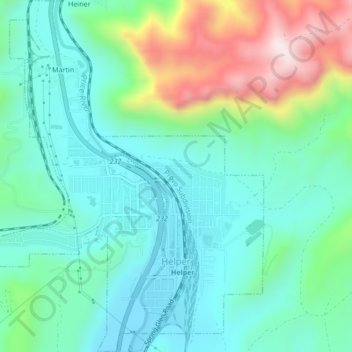
Name: Helper topographic map, elevation, terrain.

Location: Helper, Carbon County, Utah, United States (39.67569 -110.88073 39.70833 -110.84401)

Average elevation: 6,273 ft

Minimum elevation: 5,784 ft

Maximum elevation: 7,618 ft

Carbon County trails, hiking, mountain biking, running and outdoor activities

Other topographic maps

Click on a map to view its topography, its elevation and its terrain.

Spring Glen

United States > Utah > Carbon County > Spring Glen

Average elevation: 5,906 ft

Price

United States > Utah > Carbon County > Price

Average elevation: 5,614 ft

Gear up for your next adventure:

🛠️Backpacking Tool Kit - Essential toolkit for outdoor repairs
🗺️Topographic Maps - Detailed topo maps for hiking, exploring and outdoor navigation
🥇GPS Hiking Watch - Multi‑sport GPS watch with navigation and trail tracking
🥘Titanium Cookware - Durable, featherlight pots and pans for backpacking
🧭Outdoor Navigation Book - Learn advanced navigation skills

As an Amazon Associate, this site earns from qualifying purchases at no extra cost to you.