
Bethpage topographic map
Click on the map to display elevation.
About this map
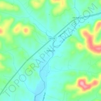
Name: Bethpage topographic map, elevation, terrain.
Average elevation: 633 ft
Minimum elevation: 502 ft
Maximum elevation: 978 ft
Sumner County trails, hiking, mountain biking, running and outdoor activities
Other topographic maps
Click on a map to view its topography, its elevation and its terrain.
Hendersonville
United States > Tennessee > Sumner County
Hendersonville features a varied topography that enhances its appeal as a lakeside community. The area is predominantly characterized by gentle rolling hills and valleys that rise gradually from the shoreline of Old Hickory Lake, which itself covers approximately 22,000 acres. The elevation in Hendersonville…
Average elevation: 515 ft