
云华村 topographic map
Interactive map
Click on the map to display elevation.
About this map
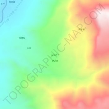
Name: 云华村 topographic map, elevation, terrain.
Location: 云华村, 鹤庆县, 大理白族自治州, 云南省, 中国 (26.06225 100.39486 26.10225 100.43486)
Average elevation: 6,155 ft
Minimum elevation: 4,295 ft
Maximum elevation: 8,855 ft
Other topographic maps
Click on a map to view its topography, its elevation and its terrain.