Geolocate

Duck Lake topographic map

Click on the map to display elevation.

About this map

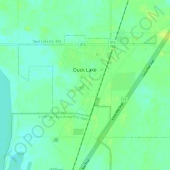
Name: Duck Lake topographic map, elevation, terrain.

Location: Duck Lake, Division No. 15, Saskatchewan, Canada (52.80117 -106.24710 52.81778 -106.20484)

Average elevation: 1,657 ft

Minimum elevation: 1,634 ft

Maximum elevation: 1,683 ft

Other topographic maps

Click on a map to view its topography, its elevation and its terrain.

Humboldt

Canada > Saskatchewan > Division No. 15

Average elevation: 1,857 ft

Carmel

Canada > Saskatchewan > Division No. 15 > Humboldt No. 370

Average elevation: 1,880 ft

Wingard

Canada > Saskatchewan > Division No. 15

Average elevation: 1,647 ft

Batoche

Canada > Saskatchewan > Division No. 15

Average elevation: 1,555 ft

Gear up for your next adventure:

🛶Inflatable Kayak - Portable kayak for rivers, lakes, and expeditions
👟Men's Trail Runners - Lightweight footwear for fast-paced exploration and light hiking
🥩Freeze-Dried Meals - Nutritious and lightweight food for remote expeditions
🖼️Topo Map Wall Art - Decorative topographic prints of famous peaks and regions
🔋Solar Power Banks - Keep your GPS and phone charged in remote wilderness areas

As an Amazon Associate, this site earns from qualifying purchases at no extra cost to you.