
张坊 topographic map
Interactive map
Click on the map to display elevation.
About this map
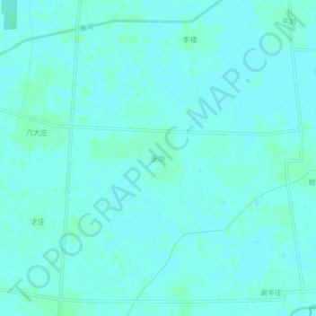
Name: 张坊 topographic map, elevation, terrain.
Location: 张坊, 菏泽市, 山东省, 中国 (34.76513 116.34823 34.80513 116.38823)
Average elevation: 135 ft
Minimum elevation: 128 ft
Maximum elevation: 144 ft
Other topographic maps
Click on a map to view its topography, its elevation and its terrain.