
管庄 topographic map
Interactive map
Click on the map to display elevation.
About this map
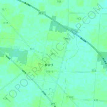
Name: 管庄 topographic map, elevation, terrain.
Location: 管庄, 菏泽市, 山东省, 中国 (34.62816 116.22604 34.66816 116.26604)
Average elevation: 154 ft
Minimum elevation: 138 ft
Maximum elevation: 167 ft
Other topographic maps
Click on a map to view its topography, its elevation and its terrain.