
San Román topographic map
Interactive map
Click on the map to display elevation.
About this map
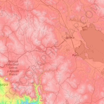
Name: San Román topographic map, elevation, terrain.
Location: San Román, Puno, Pérou (-16.77651 -71.50275 -14.77651 -69.50275)
Average elevation: 13,743 ft
Minimum elevation: 5,850 ft
Maximum elevation: 19,462 ft
Other topographic maps
Click on a map to view its topography, its elevation and its terrain.