
Puno topographic map
Interactive map
Click on the map to display elevation.
About this map
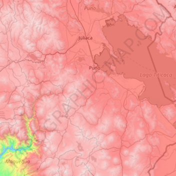
Name: Puno topographic map, elevation, terrain.
Location: Puno, Pérou (-17.06863 -71.10437 -15.06863 -69.10437)
Average elevation: 13,652 ft
Minimum elevation: 5,489 ft
Maximum elevation: 18,858 ft
Other topographic maps
Click on a map to view its topography, its elevation and its terrain.