
杜庄村 topographic map
Interactive map
Click on the map to display elevation.
About this map
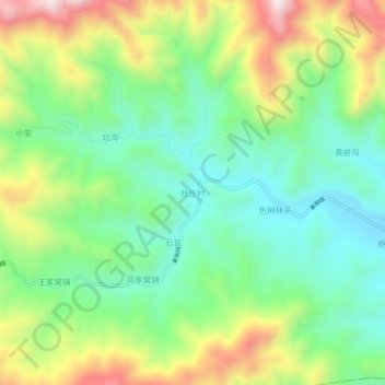
Name: 杜庄村 topographic map, elevation, terrain.
Location: 杜庄村, 葫芦岛市, 辽宁省, 中国 (40.42999 119.65879 40.46999 119.69879)
Average elevation: 1,772 ft
Minimum elevation: 1,093 ft
Maximum elevation: 2,969 ft
Other topographic maps
Click on a map to view its topography, its elevation and its terrain.