
连山区 topographic map
Interactive map
Click on the map to display elevation.
About this map
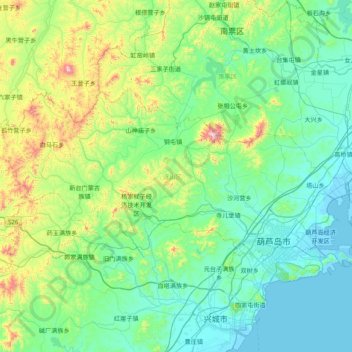
Name: 连山区 topographic map, elevation, terrain.
Location: 连山区, 葫芦岛市, 辽宁省, 中国 (40.71162 120.23109 41.00901 121.01636)
Average elevation: 522 ft
Minimum elevation: -13 ft
Maximum elevation: 2,844 ft
Other topographic maps
Click on a map to view its topography, its elevation and its terrain.