
红军营村 topographic map
Interactive map
Click on the map to display elevation.
About this map
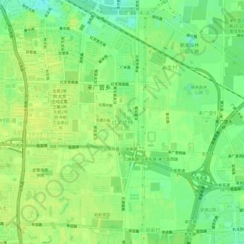
Name: 红军营村 topographic map, elevation, terrain.
Location: 红军营村, 朝阳区, 北京市, 100101, 中国 (40.00470 116.41240 40.04470 116.45240)
Average elevation: 135 ft
Minimum elevation: 102 ft
Maximum elevation: 151 ft
Other topographic maps
Click on a map to view its topography, its elevation and its terrain.