
费家村 topographic map
Interactive map
Click on the map to display elevation.
About this map
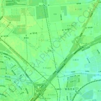
Name: 费家村 topographic map, elevation, terrain.
Location: 费家村, 朝阳区, 北京市, 100015, 中国 (39.99457 116.47934 40.03457 116.51934)
Average elevation: 125 ft
Minimum elevation: 98 ft
Maximum elevation: 138 ft
Other topographic maps
Click on a map to view its topography, its elevation and its terrain.