
常营乡 topographic map
Interactive map
Click on the map to display elevation.
About this map
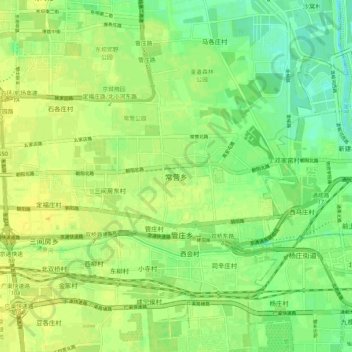
Name: 常营乡 topographic map, elevation, terrain.
Location: 常营乡, 朝阳区, 北京市, 100024, 中国 (39.88204 116.54834 39.96204 116.62834)
Average elevation: 98 ft
Minimum elevation: 62 ft
Maximum elevation: 121 ft
Other topographic maps
Click on a map to view its topography, its elevation and its terrain.