
小武基村 topographic map
Interactive map
Click on the map to display elevation.
About this map
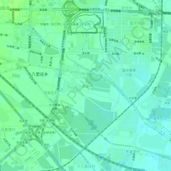
Name: 小武基村 topographic map, elevation, terrain.
Location: 小武基村, 朝阳区, 北京市, 100122, 中国 (39.83209 116.46816 39.87209 116.50816)
Average elevation: 121 ft
Minimum elevation: 105 ft
Maximum elevation: 138 ft
Other topographic maps
Click on a map to view its topography, its elevation and its terrain.