
社前村 topographic map
Interactive map
Click on the map to display elevation.
About this map
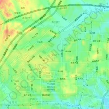
Name: 社前村 topographic map, elevation, terrain.
Location: 社前村, 章贡区, 赣州市, 江西省, 341100, 中国 (25.85651 114.86165 25.89651 114.90165)
Average elevation: 433 ft
Minimum elevation: 335 ft
Maximum elevation: 597 ft
Other topographic maps
Click on a map to view its topography, its elevation and its terrain.