
杨梅渡公园 topographic map
Interactive map
Click on the map to display elevation.
About this map
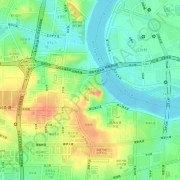
Name: 杨梅渡公园 topographic map, elevation, terrain.
Location: 杨梅渡公园, 赣州经济技术开发区, 章贡区, 赣州市, 江西省, 中国 (25.84355 114.90590 25.84897 114.91338)
Average elevation: 384 ft
Minimum elevation: 305 ft
Maximum elevation: 486 ft
Other topographic maps
Click on a map to view its topography, its elevation and its terrain.