
平陆县 topographic map
Interactive map
Click on the map to display elevation.
About this map
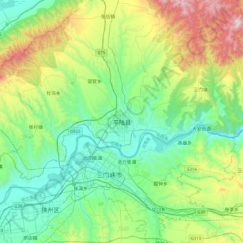
Name: 平陆县 topographic map, elevation, terrain.
Location: 平陆县, 运城市, 山西省, 中国 (34.67702 111.05100 34.99702 111.37100)
Average elevation: 2,037 ft
Minimum elevation: 866 ft
Maximum elevation: 5,200 ft
Other topographic maps
Click on a map to view its topography, its elevation and its terrain.